The drive times listed on Google Maps assume you are leaving at 10 a.m. on a Tuesday. That is not when most people leave Toronto. Friday afternoon departures, long weekend traffic, winter storms, and construction zones all add time that no algorithm can reliably predict. The distances below are measured from downtown Toronto (roughly the Gardiner Expressway and Highway 427 interchange) and the times reflect realistic mid-day, mid-week conditions. Adjust upward generously for Fridays, Sundays, and holidays.
Under 1.5 Hours
Hamilton: 70 km via the QEW. About 50 minutes in clear traffic. The Skyway Bridge at Burlington can bottleneck during rush hours, adding 15 to 20 minutes.
Niagara Falls: 130 km via the QEW. About 1 hour 20 minutes. Summer weekends and holidays add significant delays near St. Catharines. Cross-border traffic at the bridges can spill onto the QEW.
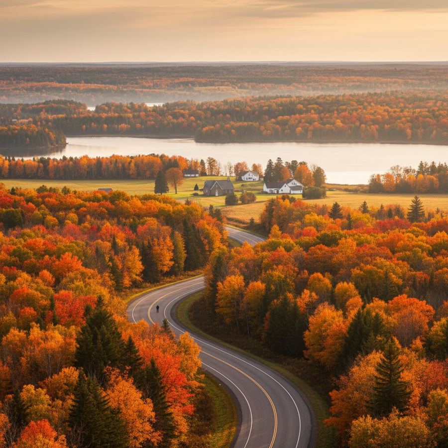
Barrie: 110 km via Highway 400. About 1 hour 10 minutes. This is the most traffic-sensitive route on the list. Friday afternoons from June through September, the 400 northbound between Highway 89 and Barrie can add 45 minutes or more. It is the gateway to cottage country and it feels like it.
Guelph: 95 km via Highway 401 to Highway 6. About 1 hour. Generally straightforward.
Port Hope: 115 km via Highway 401 east. About 1 hour 10 minutes. Construction zones east of Oshawa are frequent and can add delays.
1.5 to 2.5 Hours
Collingwood: 165 km via Highway 400 to Highway 26. About 1 hour 50 minutes. The Highway 26 stretch from Stayner to Collingwood is two lanes and slows considerably in ski season and summer weekends.
Wasaga Beach: 155 km via Highway 400 to Highway 26. About 1 hour 45 minutes. Same Highway 26 bottleneck as Collingwood. In July, Wasaga-bound traffic starts backing up before the Stayner turnoff.
Orillia: 135 km via Highway 400 to Highway 11. About 1 hour 30 minutes. The Highway 11 split north of Barrie moves well most of the time.
Gravenhurst: 180 km via Highway 400 to Highway 11. About 2 hours. This is the southern gateway to Muskoka, and the drive time is heavily seasonal. Summer Fridays can push this to 3 hours.
Port Dover: 150 km via Highway 403 to Highway 6. About 1 hour 45 minutes. An easy drive on uncrowded highways except during Friday the 13th motorcycle rallies, when the town swells to tens of thousands.
Elora: 130 km via Highway 401 to Highway 6 to Wellington County roads. About 1 hour 30 minutes. The last stretch is rural two-lane driving.
2.5 to 3.5 Hours
Owen Sound: 195 km via Highway 10 through Orangeville and Flesherton. About 2 hours 40 minutes. Highway 10 is scenic but two lanes most of the way. Passing opportunities are limited. The alternate route via Highway 400 to Collingwood to Highway 26 is slightly longer in distance but sometimes faster.
Kincardine: 230 km via Highway 401 to Highway 21, or Highway 9 to Highway 21. About 2 hours 45 minutes. A Lake Huron coast town that feels further from Toronto than the distance suggests. Highway 21 north from Goderich is a beautiful lakeside drive.
Prince Edward County: 225 km via Highway 401 east to Highway 62 south. About 2 hours 30 minutes. The 401 portion is fast; the final stretch through Belleville to Picton is slower rural highway.
Huntsville: 225 km via Highway 400 to Highway 11. About 2 hours 30 minutes. Deep Muskoka. Same summer traffic caveats as Gravenhurst, multiplied.
Perth: 315 km via Highway 7 or Highway 401 to Highway 15. About 3 hours 15 minutes. Highway 7 is the direct route but is a two-lane highway through several towns. The 401-to-15 route is faster despite being longer in distance.
3.5 Hours and Beyond
Tobermory: 310 km via Highway 400 to Highway 26 to Highway 6 north. About 3 hours 45 minutes. The last 100 kilometres on Highway 6 through the Bruce Peninsula is slow and scenic. No passing lanes for long stretches. In summer, ferry traffic to Manitoulin Island creates congestion in Tobermory itself.
Petawawa: 370 km via Highway 401 to Highway 17 (Trans-Canada). About 3 hours 45 minutes. The Highway 17 stretch from Arnprior to Petawawa is a mix of two-lane and four-lane sections. Military families posted to CFB Petawawa know this drive well.
Brockville: 340 km via Highway 401 east. About 3 hours 15 minutes. Nearly all highway driving. The 401 through this stretch is well-maintained but construction around Kingston and the Highway 416 interchange can add time.
Algonquin Park (East Gate): 310 km via Highway 400 to Highway 11 to Highway 60. About 3 hours 30 minutes. The Highway 60 corridor through the park is the main access route and is gorgeous in fall. Expect slow traffic behind RVs in October.
Highway Warnings
Highway 400 Friday afternoons (June to September): The northbound crawl from Toronto to Barrie is the worst regular traffic event in the region. Leaving before noon or after 8 p.m. is the only reliable way to avoid it.
Highway 401 construction: Between Oshawa and Kingston, the 401 is perpetually under construction. Lanes narrow, speeds drop, and fines double in construction zones. Add 15 to 30 minutes to any 401 eastbound trip as a buffer.
Highway 26 in winter: The stretch between Stayner and Meaford runs along the base of the Niagara Escarpment and is exposed to Georgian Bay lake-effect snow. Whiteout conditions are not unusual between December and March. Snow tires are not legally required in Ontario but are effectively mandatory for winter driving anywhere north of Barrie.
Highway 7: The two-lane highway from Peterborough to Ottawa is one of the most dangerous roads in the province by accident rate. Impatient passing on a road with limited sight lines is the primary cause. Drive it patiently, especially in winter.